Amsterdam gets flattened easily. Too often it is reduced to canal reflections, skinny houses, and the usual greatest-hits loop of museums, tulips, and bike riders crossing bridges at just the right angle. But this set of photographs points to something more specific and more useful: the city is best understood at its edges.
Not the metropolitan edge, but the everyday seam where water meets street, where brick embankments hold back canals, where iron railings collect locked bicycles, where boats idle below traffic signs, and where a bridge is never just a bridge. In central Amsterdam, these narrow thresholds do a lot of work. They move people, store vehicles, frame views, regulate access, and absorb tourism without ever fully becoming scenery alone.
That reading fits the city’s history. Amsterdam’s 17th-century canal ring inside the Singelgracht, now a UNESCO World Heritage site, was planned as an urban extension shaped by canals, radial streets, drainage, and land reclamation. What survives today is not a frozen set piece but a living system. Quay walls have been rebuilt and reinforced over time, bridges renewed, streets adjusted, and public space managed with a distinctly Amsterdam sense of order.
The result is a city whose visual identity comes less from isolated monuments than from repeated urban grammar: masonry, waterlines, lamps, tram wires, bollards, moorings, paving, and an almost comic density of bicycles. Look closely and Amsterdam starts to read like infrastructure with good bones.
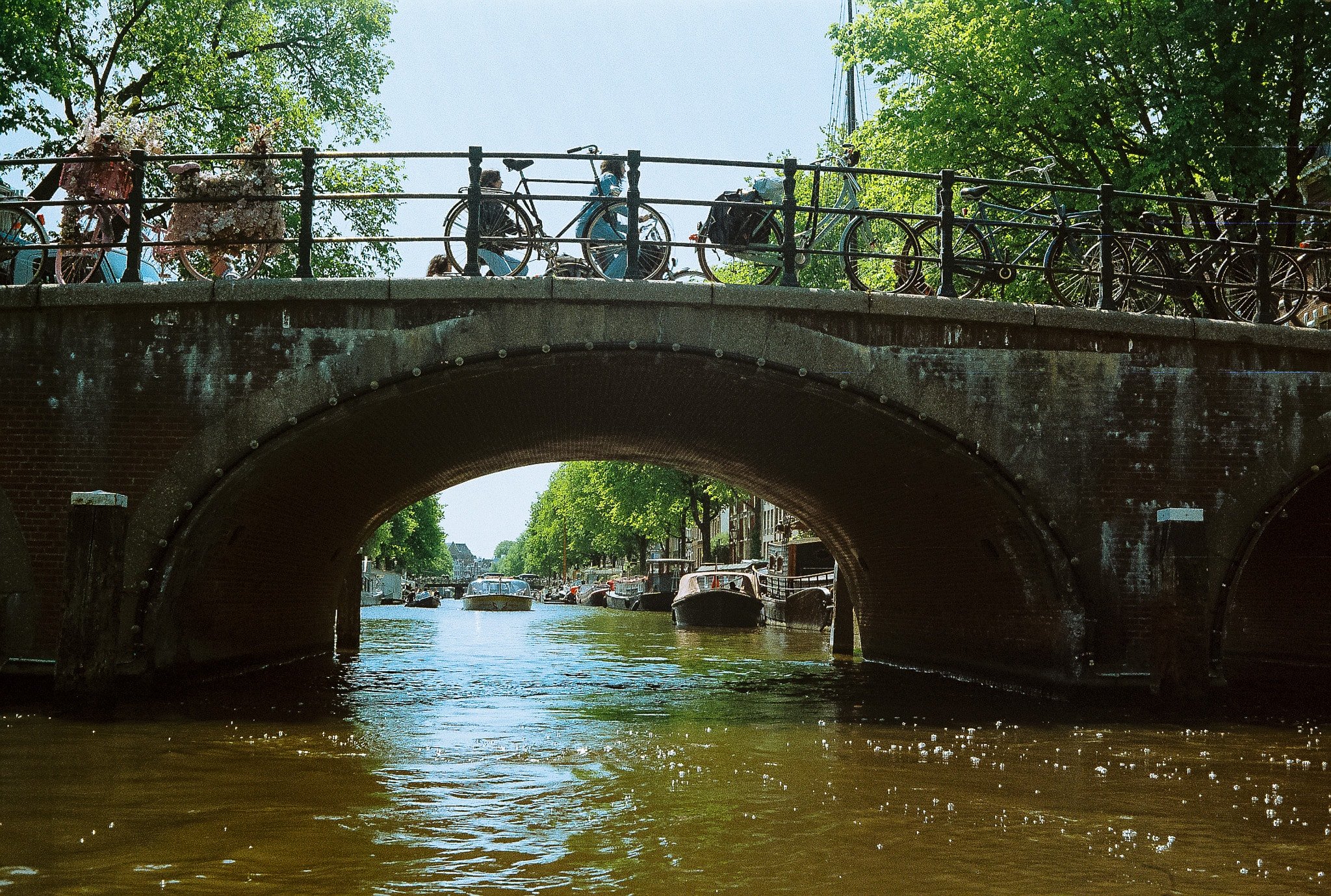
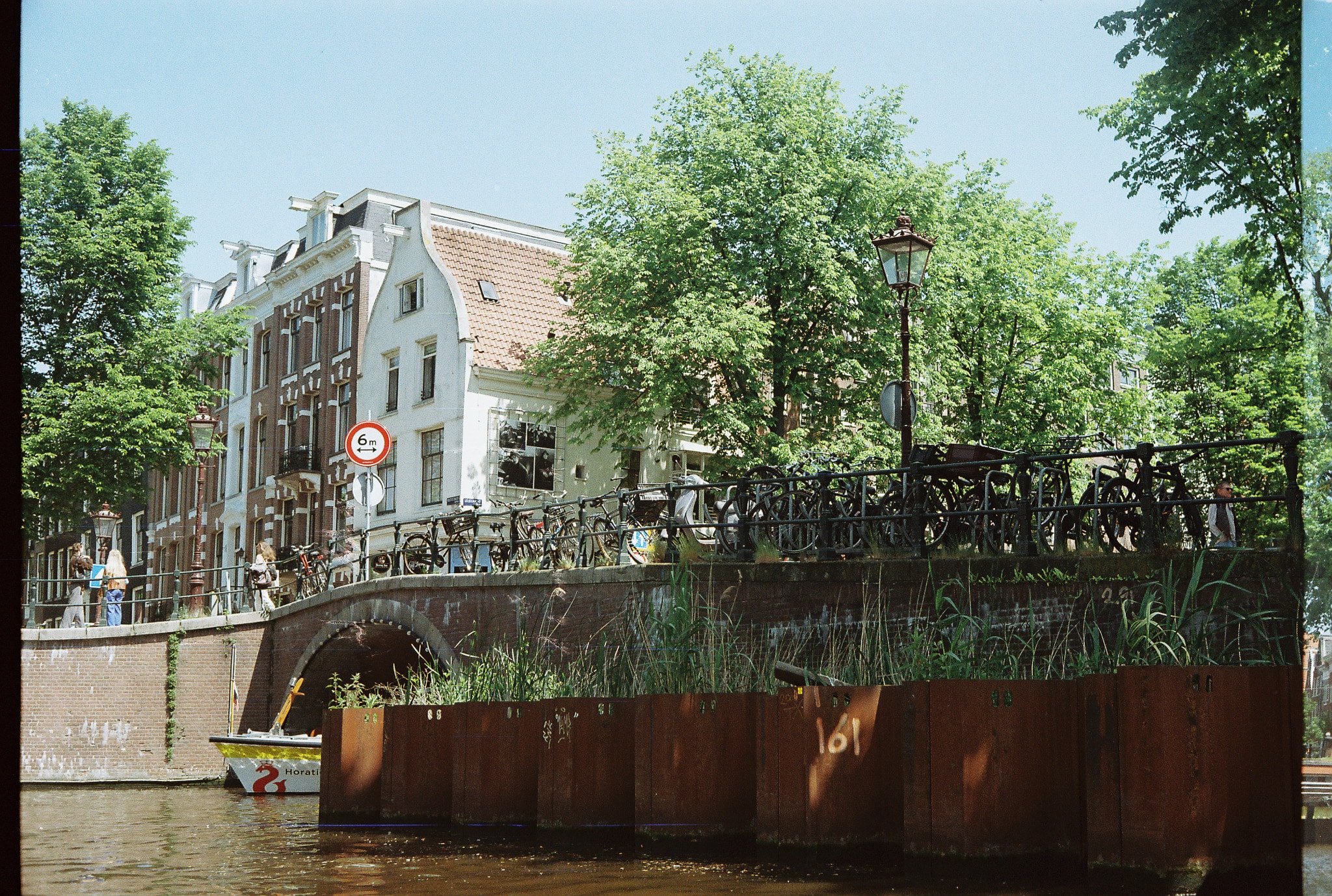
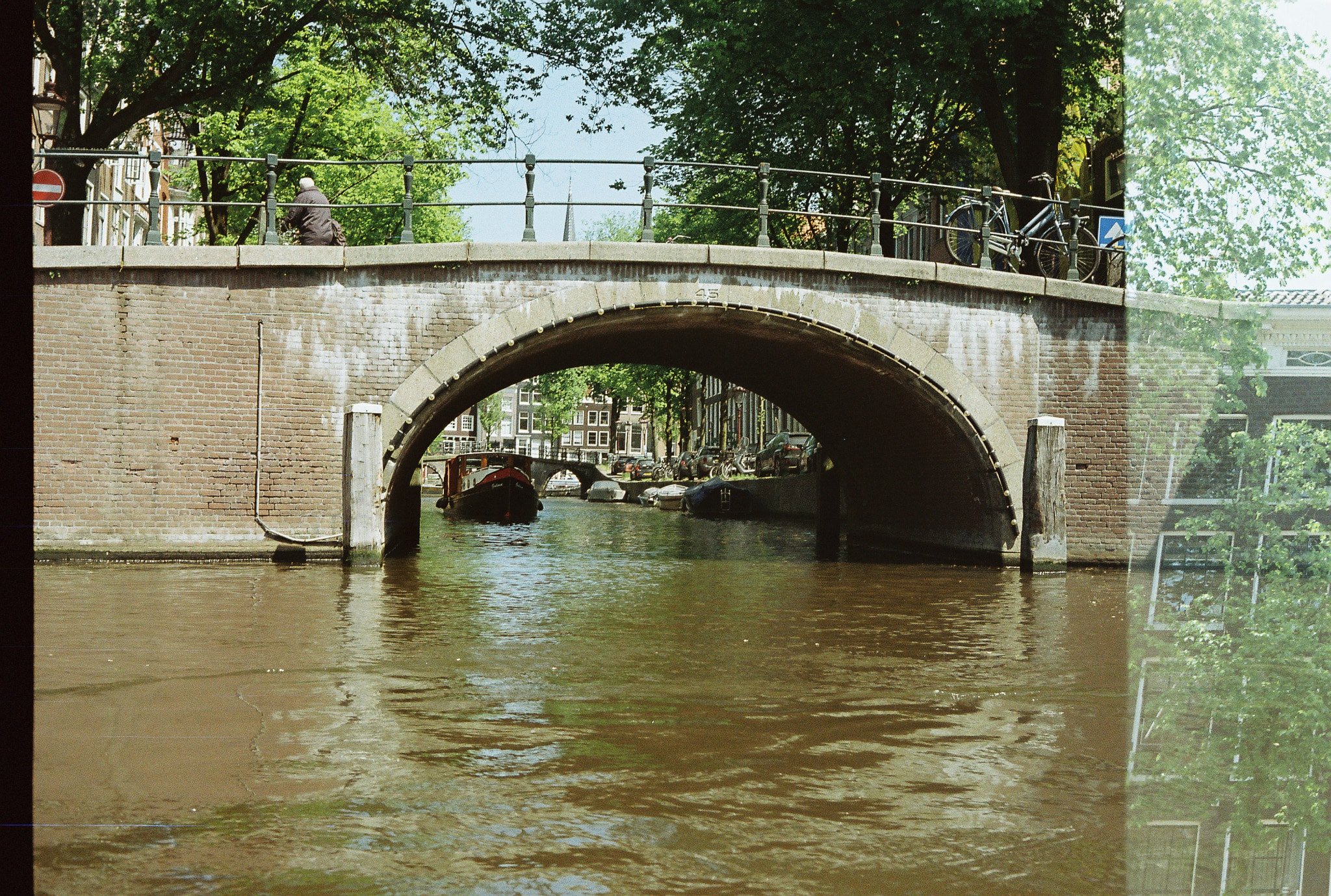
The canal is not a backdrop but a piece of civic engineering
The canal views here keep returning to the same ingredients: retaining walls, moored boats, railings, bridge arches, lamps, and facades aligned with a remarkable level of consistency. That repetition matters. UNESCO’s documentation of Amsterdam makes clear that the canal ring was conceived as a large-scale urban project, not an accidental accumulation of charming waterways. Water management, land reclamation, circulation, and real-estate logic were bound together from the start.
Even the brick edge most visitors read as old Amsterdam deserves a second look. UNESCO’s urban-heritage material notes that quay walls began as simpler wooden shoring before stone became standard for durability and visual order. Much of what is visible today was later reinforced or rebuilt in the 19th and 20th centuries. In other words, the canal edge is historic, but not untouched. It is maintained reality, not a preserved illusion.
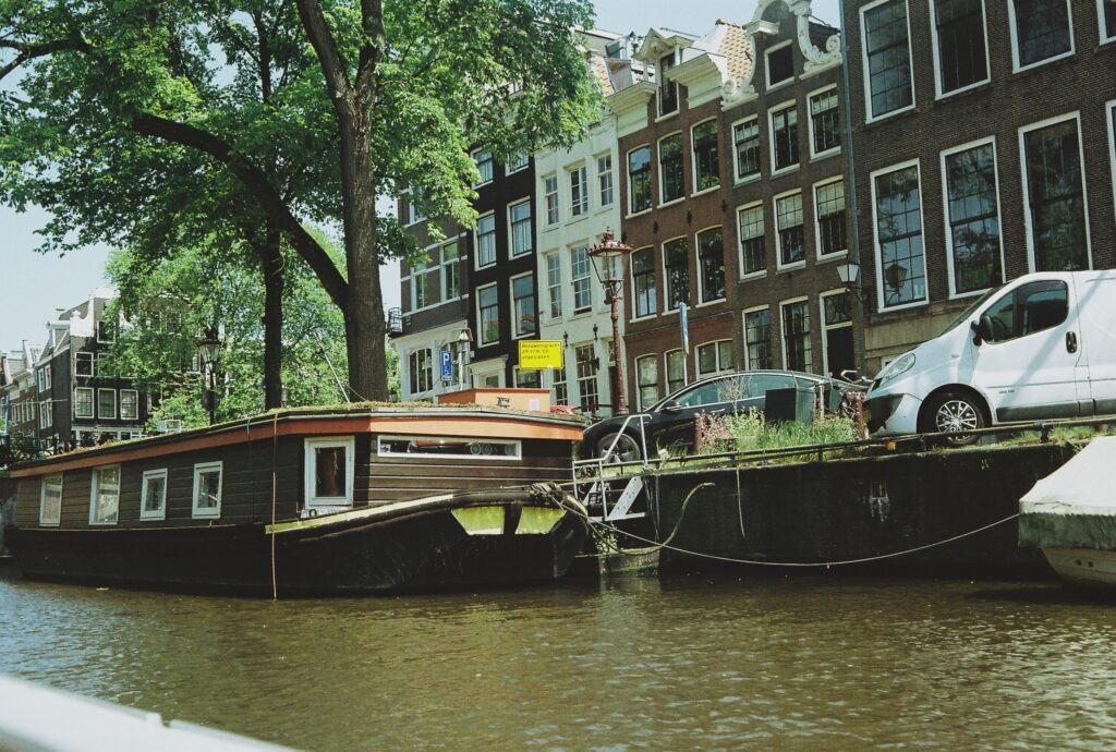
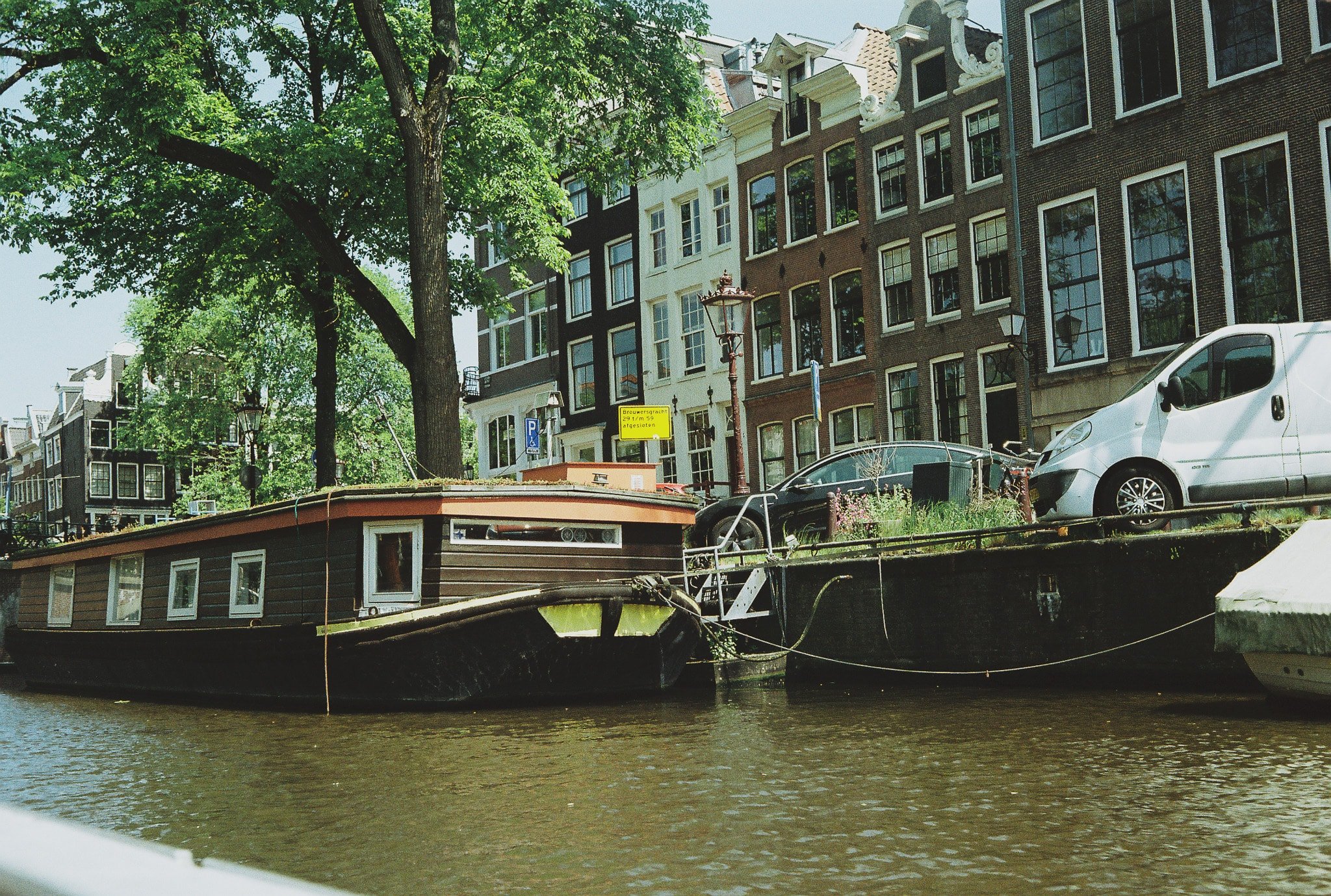
That distinction sharpens the photographs. A canal lined with houseboats and small craft is not merely decorative; it is a regulated urban margin. Amsterdam requires permits for mooring and docking, and houseboat berths are tightly controlled. The boats visible along the water belong to a managed system of residence, leisure, and visitor movement. The edge looks relaxed because so much has already been decided about how it can be used.
Seen this way, Amsterdam’s canals resemble a kind of long-form interface design. The city gives you masonry instead of menu bars, ironwork instead of dividers, and mooring rules instead of pop-ups, but the principle is familiar: a constrained environment made legible through consistent elements.
Bicycles function as street furniture, even when the city would prefer they didn’t
If the canals provide Amsterdam’s structure, bicycles provide its visual noise. They appear in these images not as lifestyle accessories but as physical mass: stacked along railings, clustered near parks, leaning into bridge lines, parked beside trams, crowding the margin between walkway and water. In frame after frame, bikes are less a subject than a material.
That doesn’t mean every improvised parking solution is sanctioned. The City of Amsterdam directs riders to use designated parking sections, racks, and indoor facilities, and in some places bicycles cannot be left indefinitely. The pressure is obvious enough without romanticizing it. A historic core with limited space and high cycling demand produces friction, and that friction shows up on bridge parapets and canal-side rails.
Near Centraal Station, the city has invested in large formal bicycle parking, including a facility with capacity for 7,000 bikes. That number is less a brag than a clue to scale. Amsterdam is continually trying to reconcile daily cycling with streets and quays that were never designed for contemporary volumes. The photographs catch the unresolved middle state: rules exist, infrastructure expands, yet the bike still ends up becoming part of the streetscape almost everywhere you look.
There is something very Dutch about this tension. The visual order is real, but it is not sterile. A bridge lined with bicycles can feel overloaded and perfectly normal at the same time. In another city, that might read as clutter. In Amsterdam, it reads as demand made visible.
Bridges are the city’s editing cuts
Amsterdam has more than a thousand bridges, according to UNESCO’s urban-heritage material, and the photographs make a strong case that bridges are where the city reveals its own logic most clearly. They compress movement, layer modes of transport, and create a quick change of scale: water below, bikes at eye level, pedestrians crossing, facades beyond. Every bridge is a miniature cross-section of Amsterdam.
UNESCO also distinguishes between different bridge types in the canal ring, including brick-and-stone arched bridges on some major canals and wooden drawbridges on routes where clearance once mattered for ships with raised masts. That historical distinction matters because it reminds us that bridge form followed use. Amsterdam’s beauty has always been tied to practical decisions.
Several images are especially strong on the under-bridge perspective, where masonry, shadow, and riveted metal frame the canal as a working corridor rather than a postcard. This is the city stripped to its syntax: arch, waterline, railing, wheel, hull, tree canopy. If canal houses are the nouns of Amsterdam, bridges are the punctuation marks.
The city centre even regulates how people occupy these crossings. Amsterdam’s rules for guided tours state that tour groups may not stop on busy canal bridges or block shop entrances during opening hours. That small detail says a lot. Bridges are not just scenic pause points; they are active circulation infrastructure in a crowded historic environment. The city has to defend their function from their own photogenic success.
Museumplein and Centraal show how civic space opens and tightens
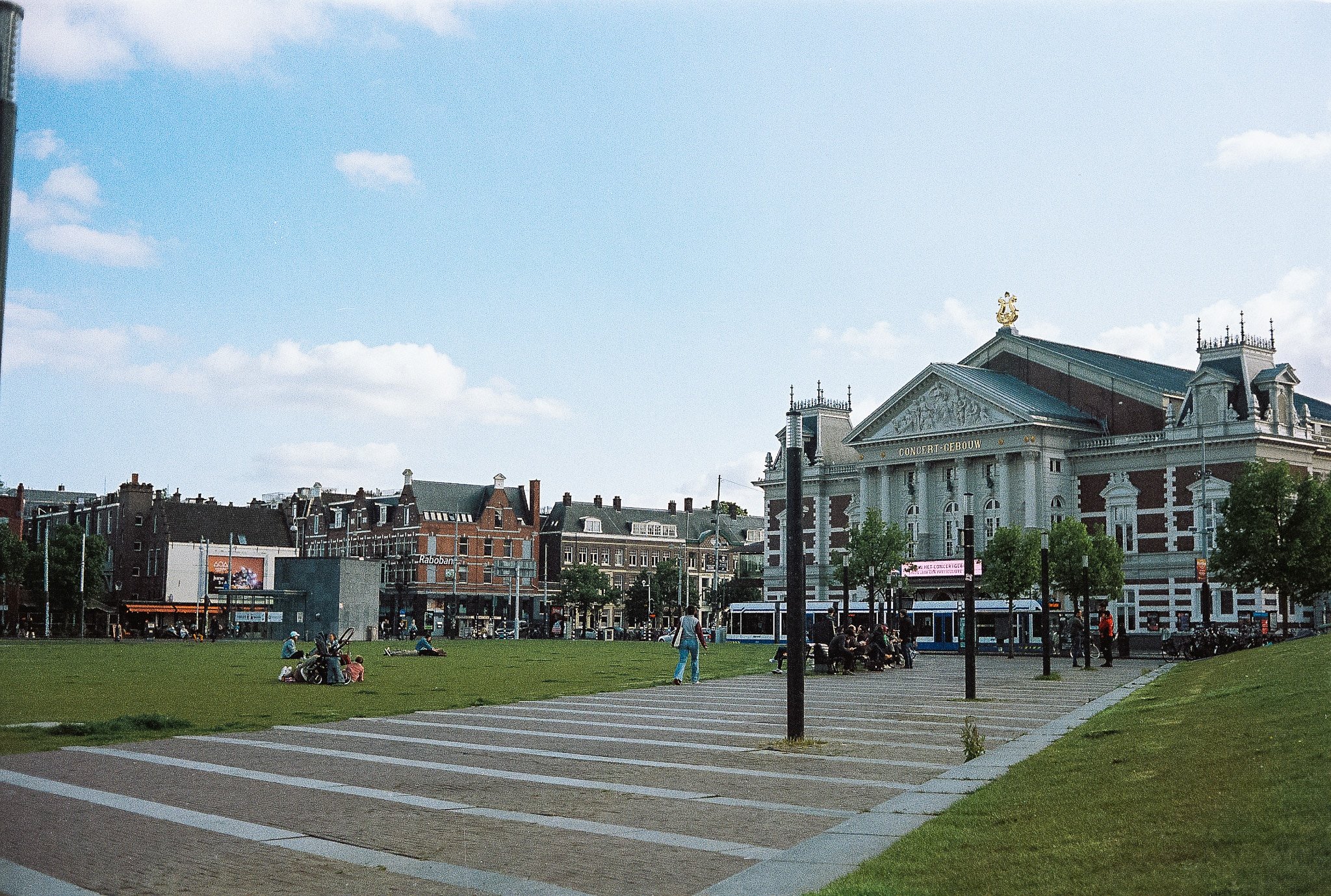
The set moves between two urban conditions that say a lot about Amsterdam’s spatial intelligence. Around the canal belt, everything narrows into negotiated edges. At Museumplein, the city opens up. The lawn, paving, tram routes, benches, and major institutions create a looser civic field where people can spread out rather than squeeze past each other along a quay.
That openness is not accidental. The city officially treats Museumplein as both square and park, and current plans for the area emphasize more greenery, renewed street furniture, climate resilience, and a bicycle street on one edge. In the photographs, the district reads less like a monumental precinct kept at a distance and more like an actively used public room. Het Concertgebouw, completed in 1886 and opened in 1888, faces a lawn that absorbs everyday movement instead of ceremonial grandeur.
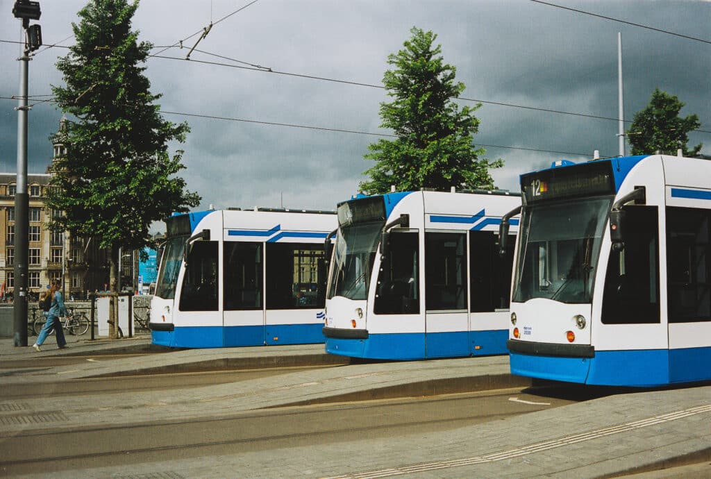
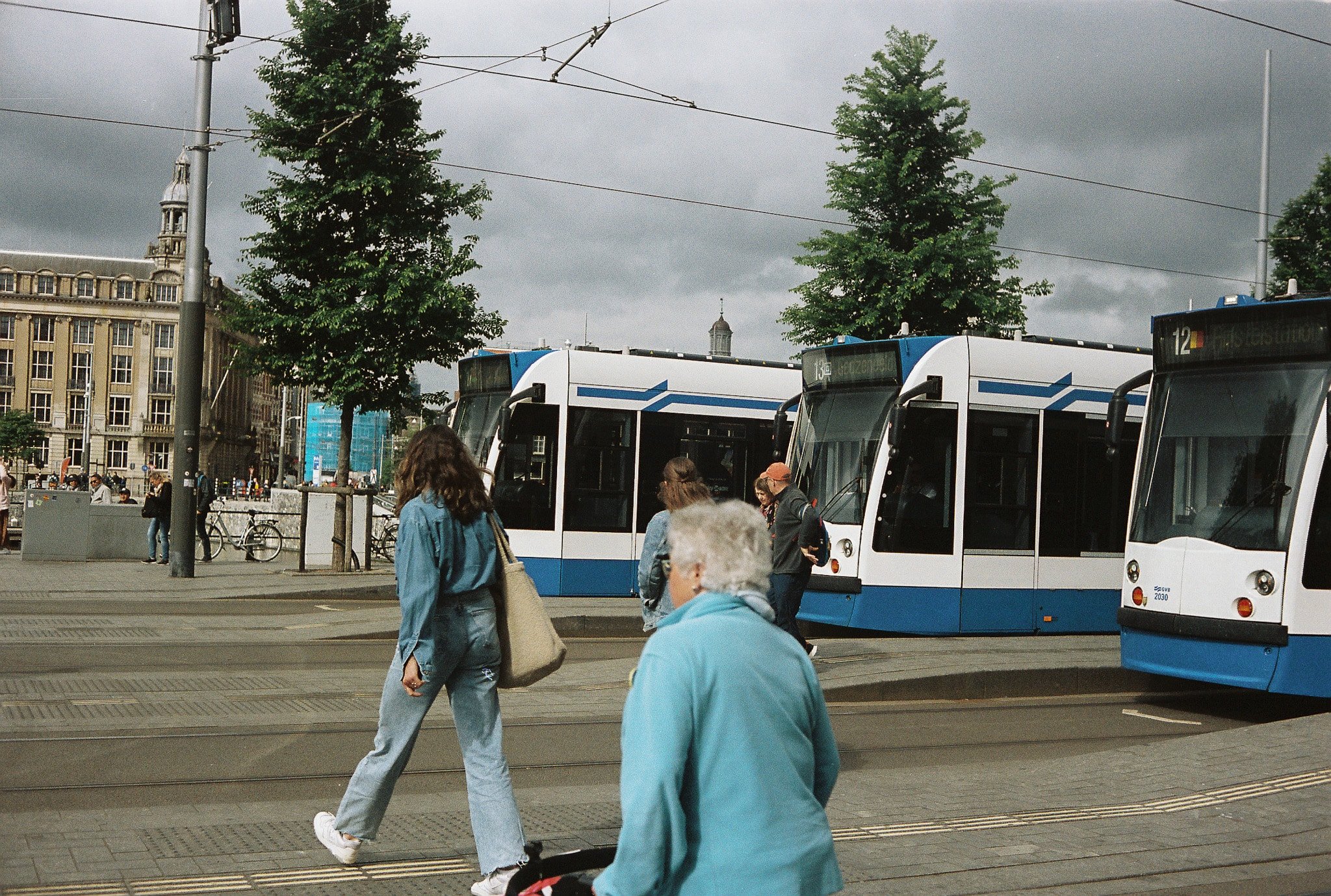
Trams play a key role in stitching these spaces together. GVB line information shows how routes connect Museumplein, Leidseplein, Rijksmuseum/Spiegelgracht, and Centraal Station. The blue-and-white trams in the images are a reminder that Amsterdam’s historic centre is not functioning on nostalgia alone. Overhead wires and embedded tracks run straight through some of the city’s most architecturally loaded spaces.
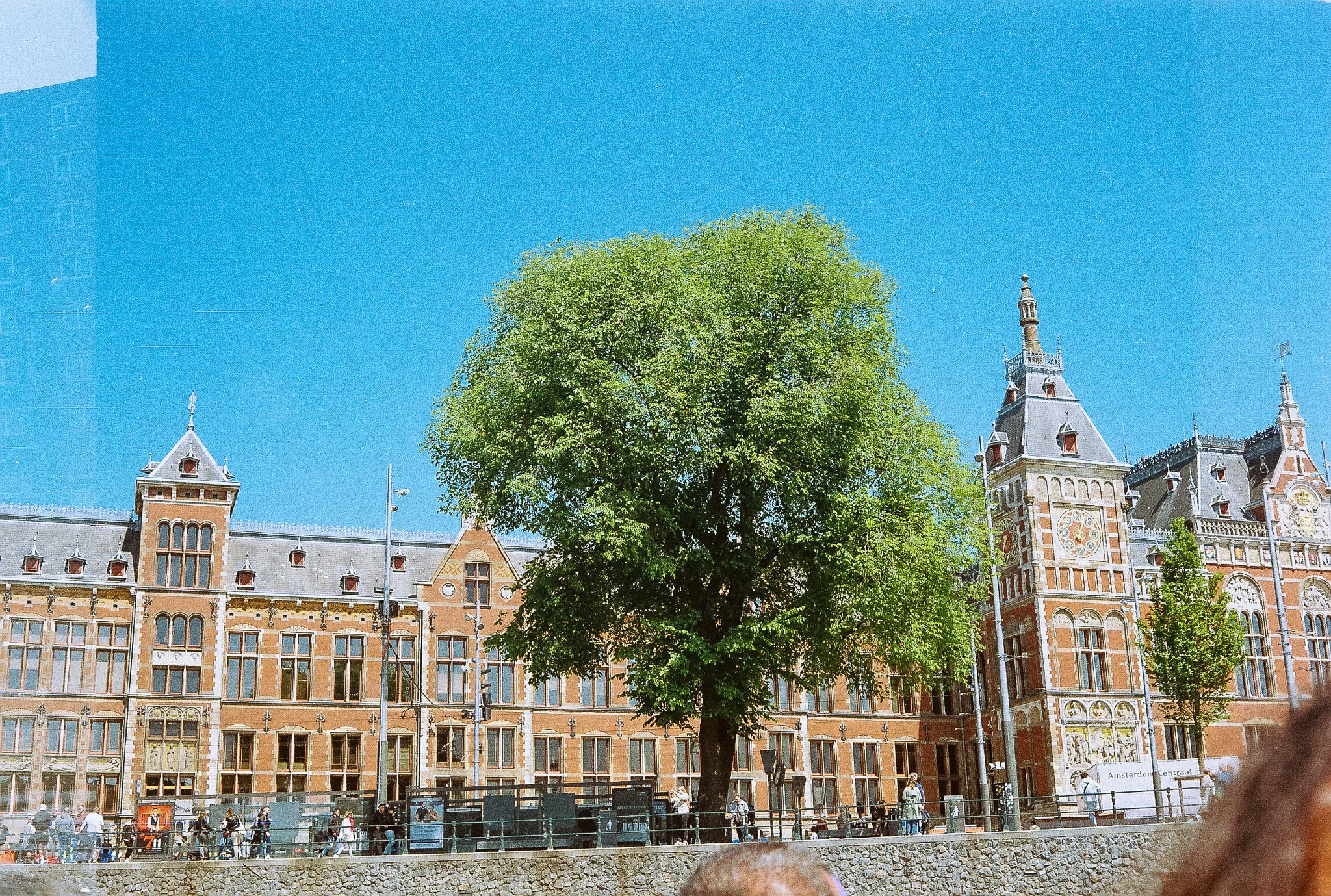
Centraal Station, seen from the waterfront side, tightens the system again. There the edge becomes dense with promenade, water, transit, and monumental architecture. The station is a gateway, but the interesting part is how quickly gateway space becomes edge space once more. Even at one of the city’s biggest landmarks, Amsterdam still organizes itself through boundaries, thresholds, and shared surfaces.
Tourism shows up most clearly in the hardware around it
One of the more interesting things about this set is that tourism is visible without becoming the whole story. It appears through kiosks, museum shops, canal tour branding, hotel signage, chain retail, event banners, and food counters. That is a more revealing way to see the visitor economy anyway. Not as an abstract complaint or a marketing fantasy, but as physical infrastructure attached to already busy streets and canals.
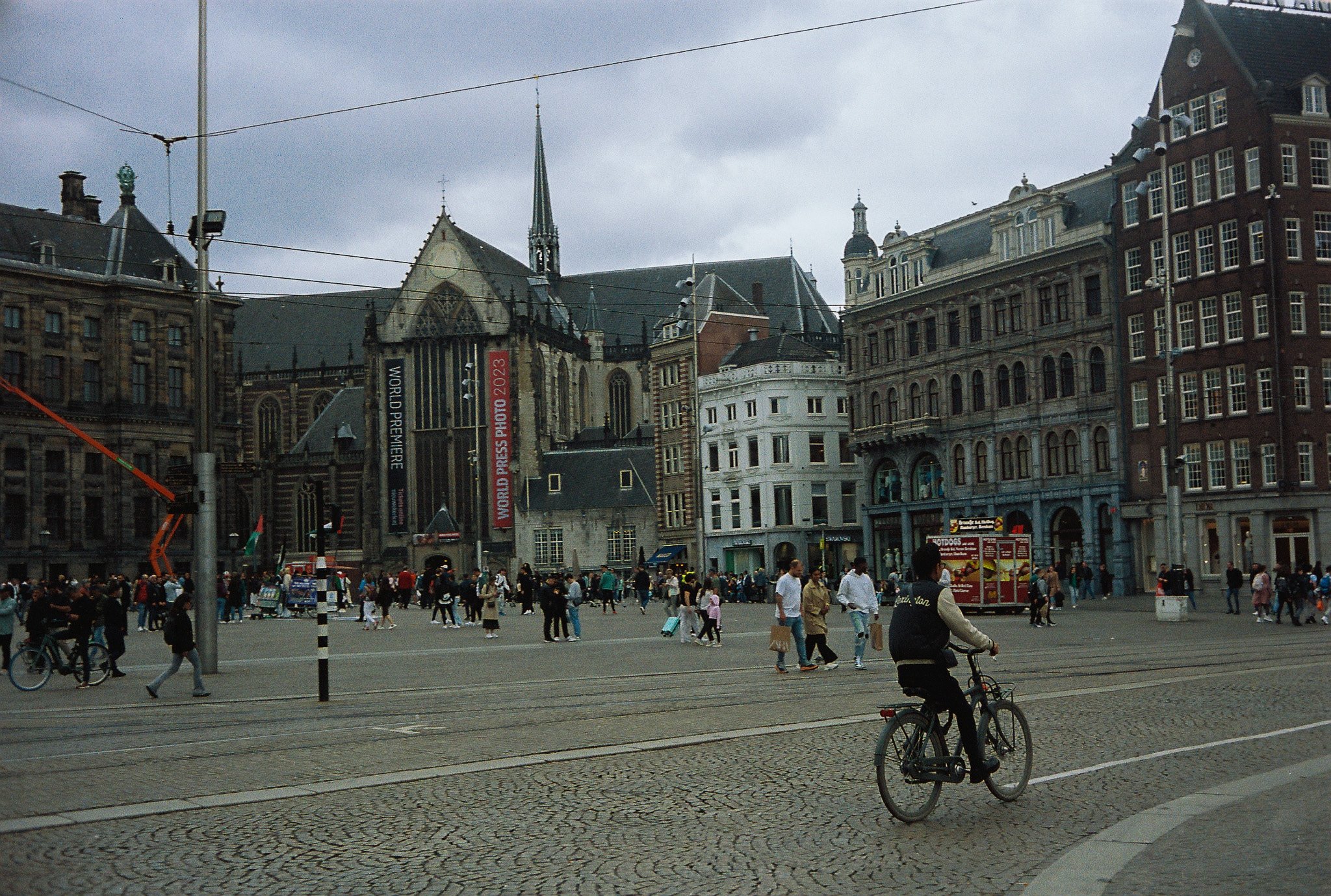
On Dam Square, World Press Photo 2023 signage points to a long-running relationship with De Nieuwe Kerk, the Amsterdam venue for the exhibition since 2014. That pairing captures something essential about the city centre: temporary global programming inhabiting old civic space through banners, ticketing, queues, and foot traffic. Elsewhere, canal-tour operators and hospitality brands sit directly within the historic waterfront fabric rather than outside it.
Amsterdam’s own city-centre policy acknowledges the balancing act. The municipality says it wants the inner city to remain welcoming to visitors while restoring it as a place where residents feel at home and public space stays accessible. That tension is legible in these images. A shopping street can hold Starbucks, Henri Willig, bakery signage, and souvenir stalls while still being structurally defined by canal-house plots and pedestrian pressure. A waterfront can hold tour boats and regulated moorings without losing its everyday function.
That is probably the most honest way to read central Amsterdam in 2023. Not as a stage set ruined by commerce, and not as a flawless urban utopia, but as a historic city whose edges are under constant negotiation. The photographs understand that instinctively. They keep returning to the places where systems touch: bridge to street, bike to railing, boat to quay, tram to square, visitor to resident city. That is where Amsterdam becomes legible.
Photography by Gil DeSaant. Explore more of his photography at gildesaant.com.